Details on my 9/22 tour of the Illinois Fox River Chain O’ Lakes. Once again, individual images have their own comments. Raw numbers: Seven lakes, four hours, twelve miles. Fuel was just over one liter of Dr. Pepper, which is consistent with the previous two excursions. I didn’t tie up or leave the boat at all in four hours; I got up on my knees to stretch by a way of a break a couple of times.
The photo locations are numbered, mostly.
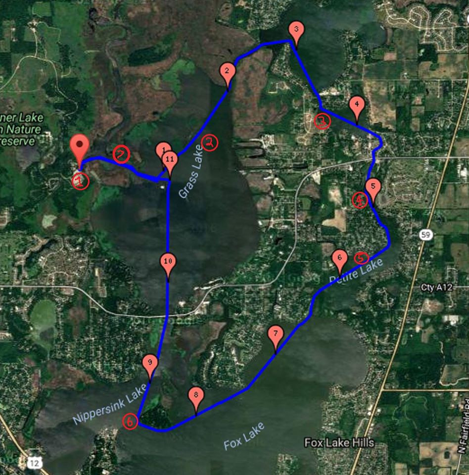
Loaded and ready to go; Wikipedia says the Chain is the busiest inland recreational waterway per acre in the United States. Even though this was a gray weekday afternoon after the season was over, it was still busier than I am used to. A fisherman at the pier told me the orange flag was a good idea. Given the strange way my brain processes color, I had never thought of my Duckworks burgee as an orange flag before, but every little bit helps.
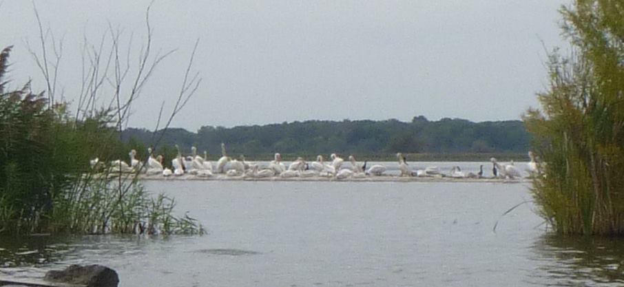
Grass Island is a man made island in Grass Lake; it consists of a fence/ sea wall that is gradually being filled with dredgings from the various channels. I rowed along the south east edge of the island, and all I saw was a wall of vegetation that was over my head. And then there was a break in the wall, and I realized that there were DOZENS of herons hiding out in there…
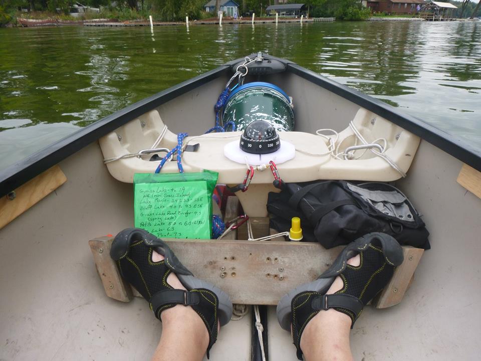
This trip was the main reason I bought and rigged the compass. When you are heading out across a lake where you have never been before, and the markers that indicate the channel you want (as opposed to any of the myriad mooring channels that line the shores) are half a mile or more away, knowing the correct direction to proceed is a BIG help. My text map included three letter compass points, which proved to be exactly what I needed. I had managed to mis-transcribe a couple of the distances, which made for a bit of confusion, but it worked out.
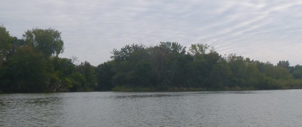
Spring Lake is barely a lake, really just a wide section in the channel between Bluff Lake and Petite Lake, but it does have its pretty points, like this one.
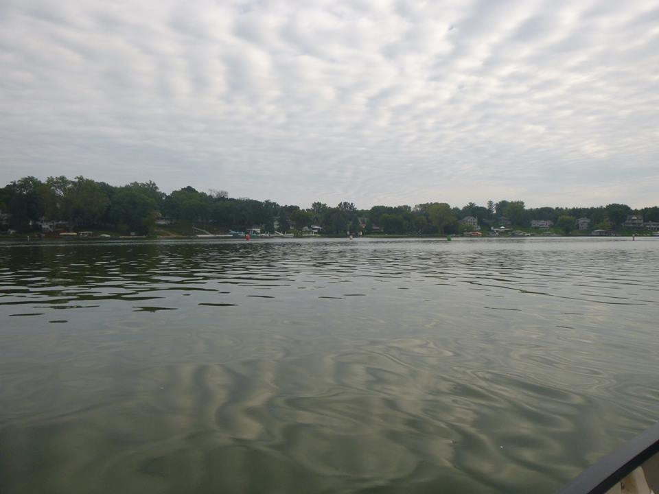
I took this shot for a time stamp as I entered Petite Lake; I did not notice either the clouds, or the reflection of the clouds. Color me oblivious.
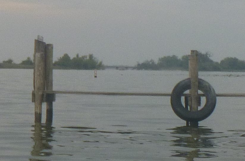
Looking north from the south west corner of Crabapple Island to the Grass Lake Road bridge that separates Grass Lake from Fox and Nippersink Lakes (which have an ill defined boundary, largely because the hydrographic folks think they are the same lake, but then, the hydrographic folks say there are only four Great Lakes, so they are used to being ignored).
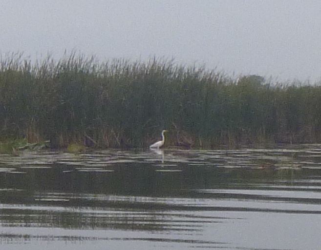
Not sure why this fellow didn’t spook as I came by. I’m glad he didn’t.
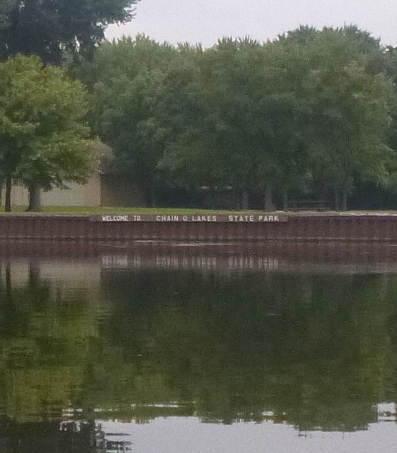
Coming into the state park at the end of the tour; the sky had been gray all afternoon, and the rain would fall while I was loading the canoe onto the car. At this moment, though, everything was still.